A Magical Place
By Tom White
In late 1973, I explored a 25-acre wooded tract of land on the northeast side of Roanoke Island, NC. Located at the north end of a range of wooded sand hills, the land included the tallest hill on the island. Climbing that peak presented me with a view of the Currituck Sound Bridge some 18 miles distant. A U.S. Coast and Geodetic survey marker was positioned at this highest elevation of Roanoke Island.
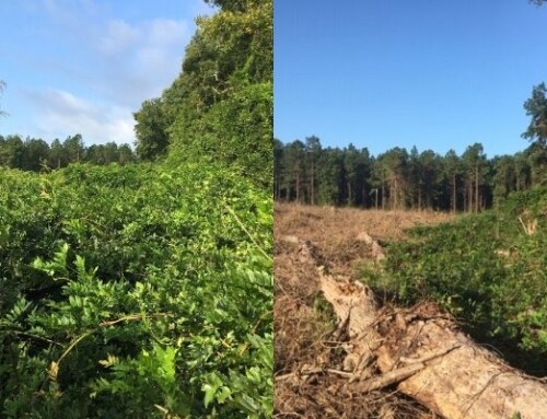
Many parts of this range had been leveled in the past and the sand mined over the years. Most notably the area on the far north had been leveled and substantially mined during construction of the William B. Umstead Memorial Bridge from 1955-1957.
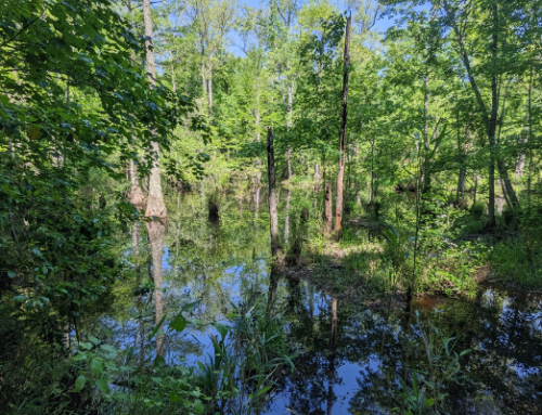
Walking through the hills and forest I was transfixed by nature and transported into a seemingly ancient forest of red and white oaks, 100-year-old live oaks, dogwoods, holly trees and pines which emerged out of magnificently carved sand dunes. The underbrush was sparse and allowed for walking and viewing throughout.
A covey of wild quail astonished me and small wildlife was abundant. I became enamored with the land which later a biology student discovered was filled with maritime forest species. The uniqueness of the land made me realize it must be preserved, which became my goal.
Upon investigating its ownership, I discovered the land was for sale but the price was much more than I could manage. A friend and I finally purchased the tract together and divided it in early 1974. Thanksgiving weekend of 1984 found me finally – and happily – occupying my new residence on the beautiful and special property.
Thomas L. White, Jr.
North End of Roanoke Island
The Coastal Land Trust is pleased to have worked with Tom to permanently protect this exceptional property with a conservation easement.